
Mapping the hidden war on the infrastructure the West depends on.
Documenting sabotage incidents using OSINT to raise public awareness about potential threats posed by adversaries engaging in hybrid warfare against Western nations and their allies.
Incident Map
Every marker is a sourced, geolocated event. Filter by category, brush the timeline, and open any incident for its full dossier.
Submarine cable routes © TeleGeography — submarinecablemap.com.
Gas pipelines © OpenStreetMap contributors (ODbL), rendered via OpenInfraMap.
Oil pipelines © OpenStreetMap contributors (ODbL), rendered via OpenInfraMap.
Latest Incidents
Reflects the filters applied to the map above. Select any row to open its dossier.
Analysis
A statistical read of the full record — what is being targeted, where, and by whom.
Attribution reflects open-source assessments and, in many cases, remains suspected rather than legally proven.
Incident Dossiers
Sourced write-ups behind the markers — what happened, the assessed attribution, and where to verify it. See all incidents →
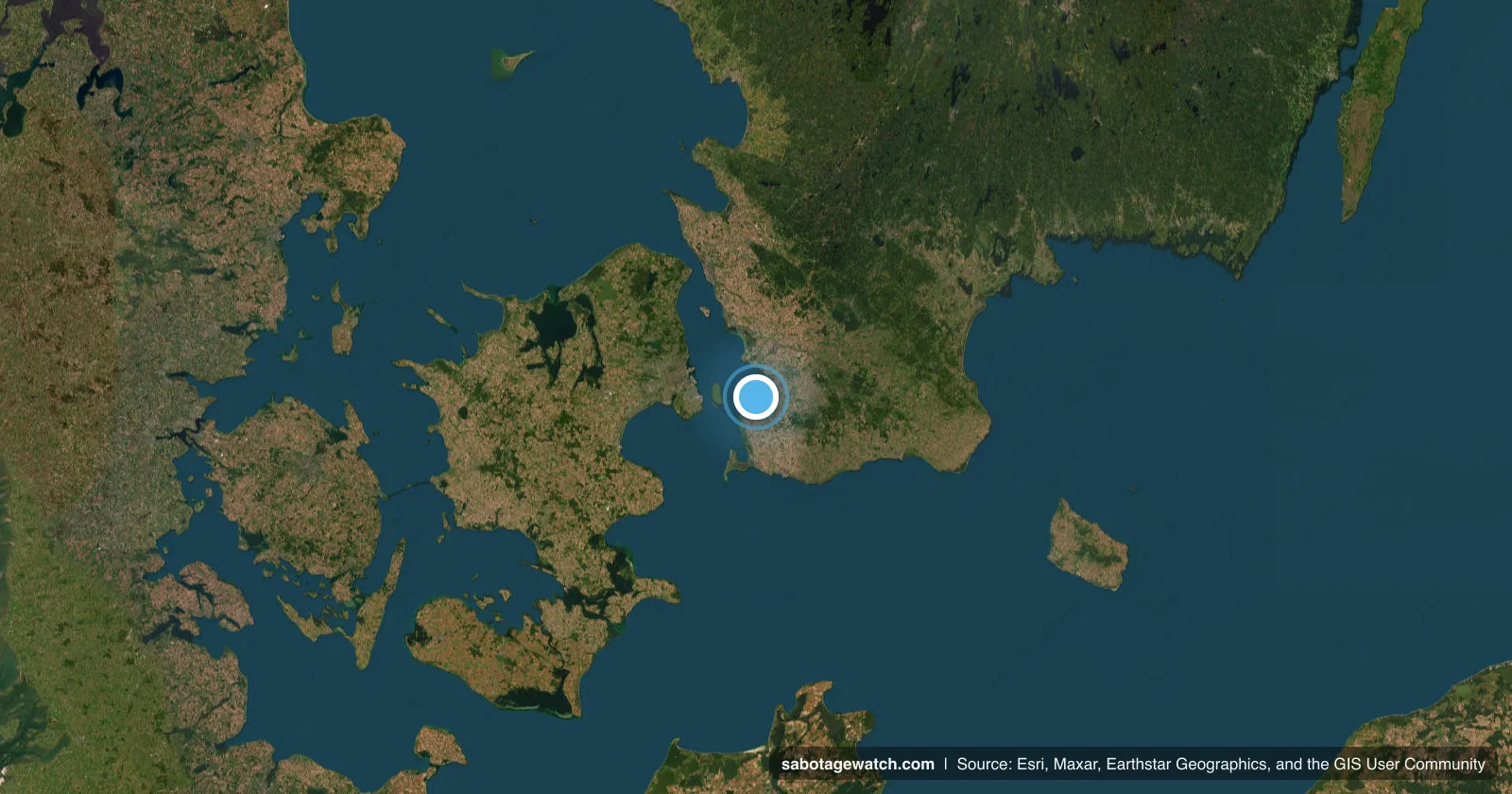 Drone Sightings
Russian reconnaissance drone shadows France's carrier Charles de Gaulle
A suspected Russian drone shadowed the carrier's escort group — assessed as deliberate surveillance of a NATO naval formation.
Read dossier →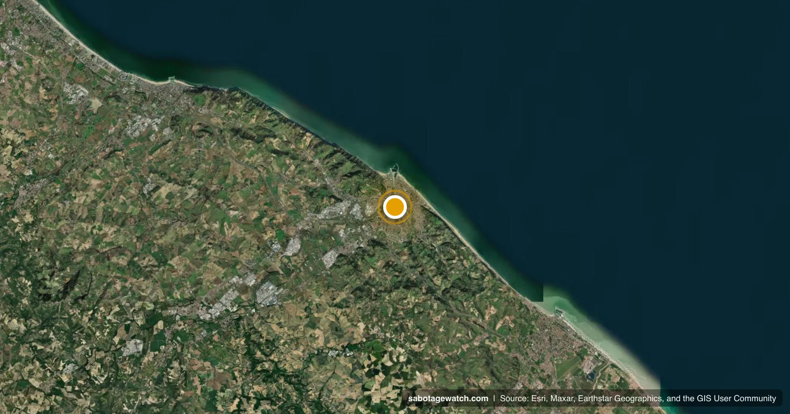 Arson
ArsonArson guts the cabin controlling a track switch near Pesaro
An electrical cabin on the Bologna–Ancona line was set alight — assessed by Italy's transport ministry as serious sabotage.
Read dossier →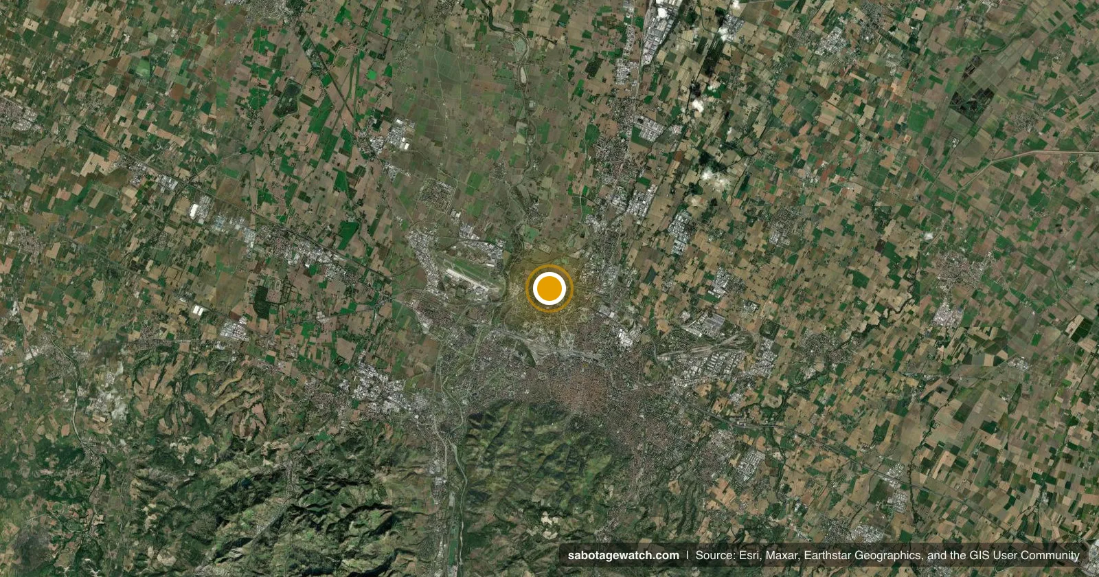 Arson
ArsonIncendiary devices sever signalling cables on the Bologna–Venice line
Timed devices cut train-speed signalling cables on the high-speed line, delaying services for up to two and a half hours.
Read dossier →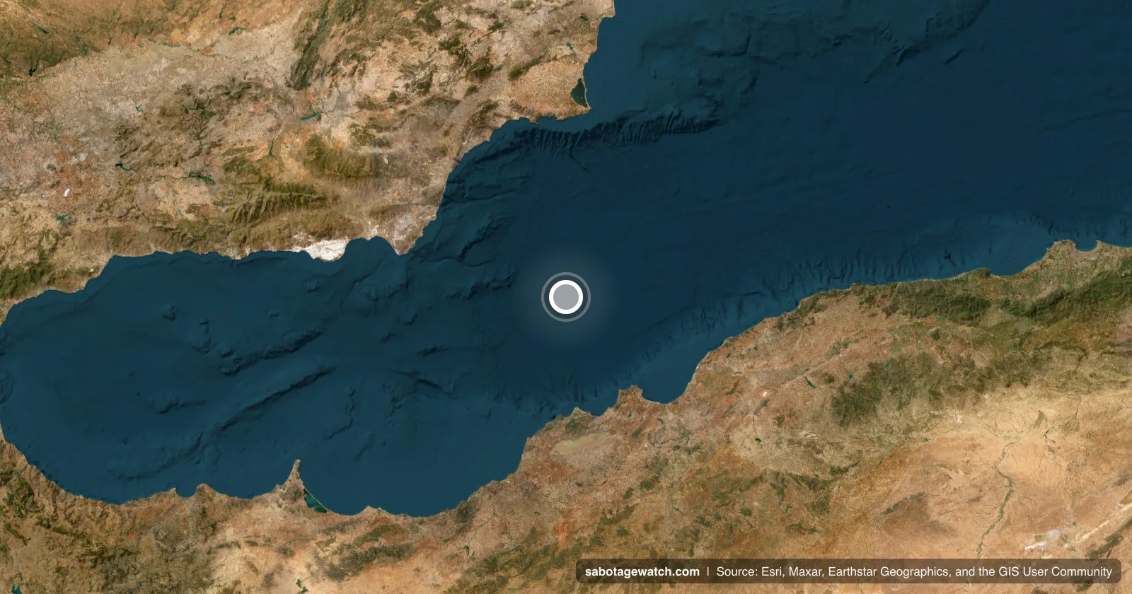 Other
OtherRussia-linked Ursa Major sinks off Spain amid nuclear-cargo suspicions
A sanctioned, Russia-linked cargo ship sank after engine-room explosions; Spanish investigators suspect undeclared nuclear reactor components possibly bound for North Korea.
Read dossier →Methodology
Open Sources Only
Every entry is built from publicly available reporting — official statements, vessel-tracking data, and established newsrooms. No classified material.
Geolocate & Source
Each incident is pinned to coordinates and tied to at least one citable source, so any claim on the map can be traced back and checked.
Suspected ≠ Proven
Attribution is recorded as assessed in the open-source record. Where intent or responsibility is unconfirmed, it is labelled as suspected. Entries are subject to change as new information becomes publicly available.