
1
Starting an investigation with image reverse search

2
Five ways to find EXIF/metadata in a photo or video

3
Advanced Search Operators with Translate

4
Identify a location from a photo or video (geolocation)
5
Creating a panorama from a video for geolocation

6
Find when an image was taken with satellite imagery
7
How to create a satellite image time lapse
8
Calculate time using shadows in a photo or video
9
Top 4 Free Satellite Imagery Sources

10
How to map anything with freely available location data

11
Six street view applications to explore the world

12
How to pull text from an image and use it in search
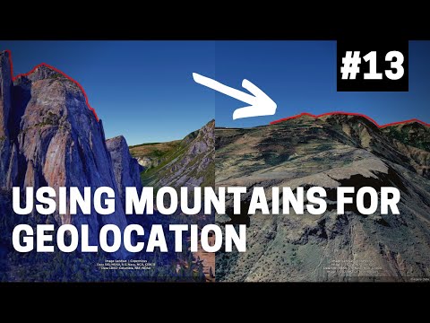
13
Using mountains to geolocate a photo or video
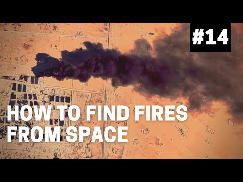
14
How to find fires from space
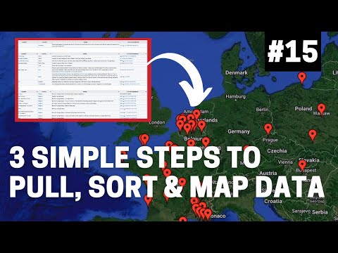
15
3 Simple Steps to Pull, Sort and Map Data

16
My top five tools in Google Earth Pro

17
How to map seismic data and earthquakes

18
How to track and find planes and flights

19
Top 3 Google Search Hacks for Investigators

20
Four Best Image Reverse Search Tools
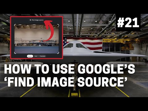
21
Using Google's 'Find Image Source' Tool
22
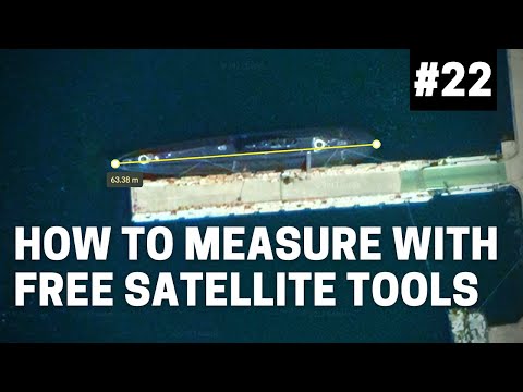
How To Measure Areas Using Free Satellite Tools

23
Top Commercial Satellite Imagery Providers
24
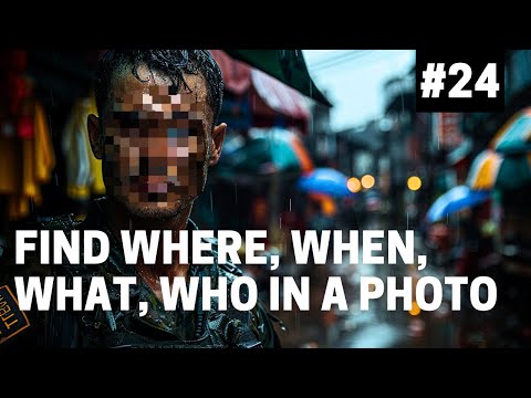
Find Where, When, What & Who in a Photo
25
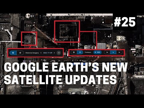
How to Use Google Earth's Historical Satellite Features

26
Top 5 hacks to find deleted websites, posts and changes

27
MODI – Find where & when a photo was taken

28
11 Free No-Code OSINT Tools You Should Bookmark
Want more OSINT resources?
Explore our curated Toolkit of tools and platforms for intelligence gathering and analysis.
Explore the toolkit →